
SCIENCE
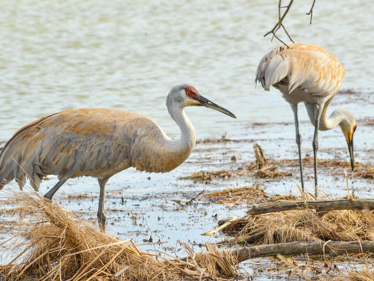
I just think they’re neat: Sandhill cranes
By Helena Wehrs | Jun. 7, 2021Sandhill cranes, once hunted to near extinction, now thrive in Wisconsin.
Sandhill cranes, once hunted to near extinction, now thrive in Wisconsin.

The Gilroy Lab at UW Madison launched its astro-botanical experiment Thursday, June 3.
In Ojibwe legend, there was a time when water covered all. Unhappy with the Anishinabe people, Kitchi-Manitou, the Great Mystery, flooded the earth. The only survivors in a world without land were those animals who could swim or fly — and one man, Nanaboozhoo, who clung for life to a floating log.
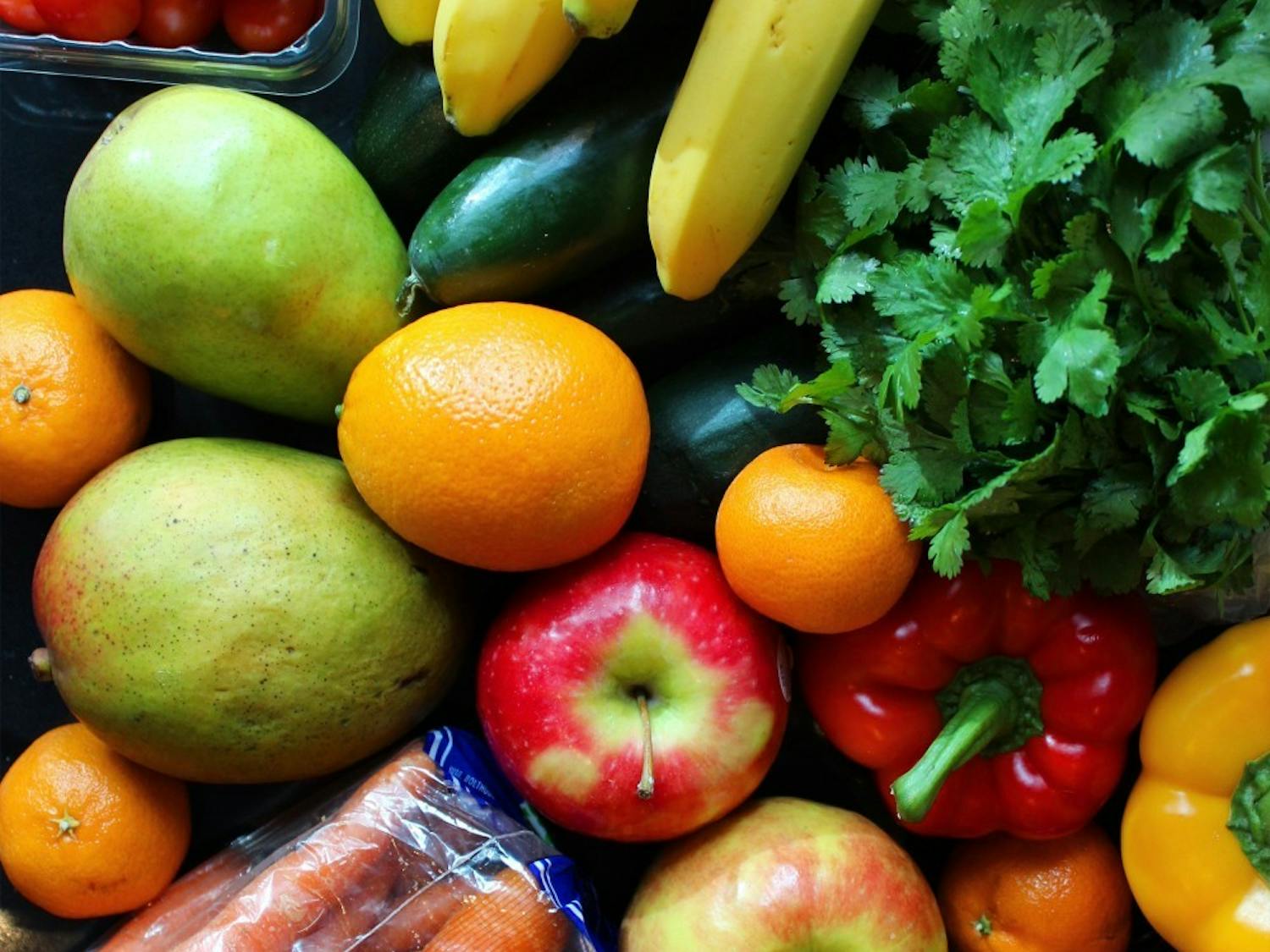
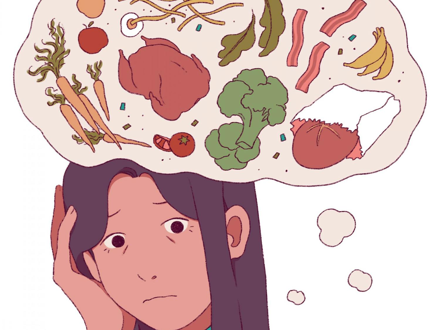
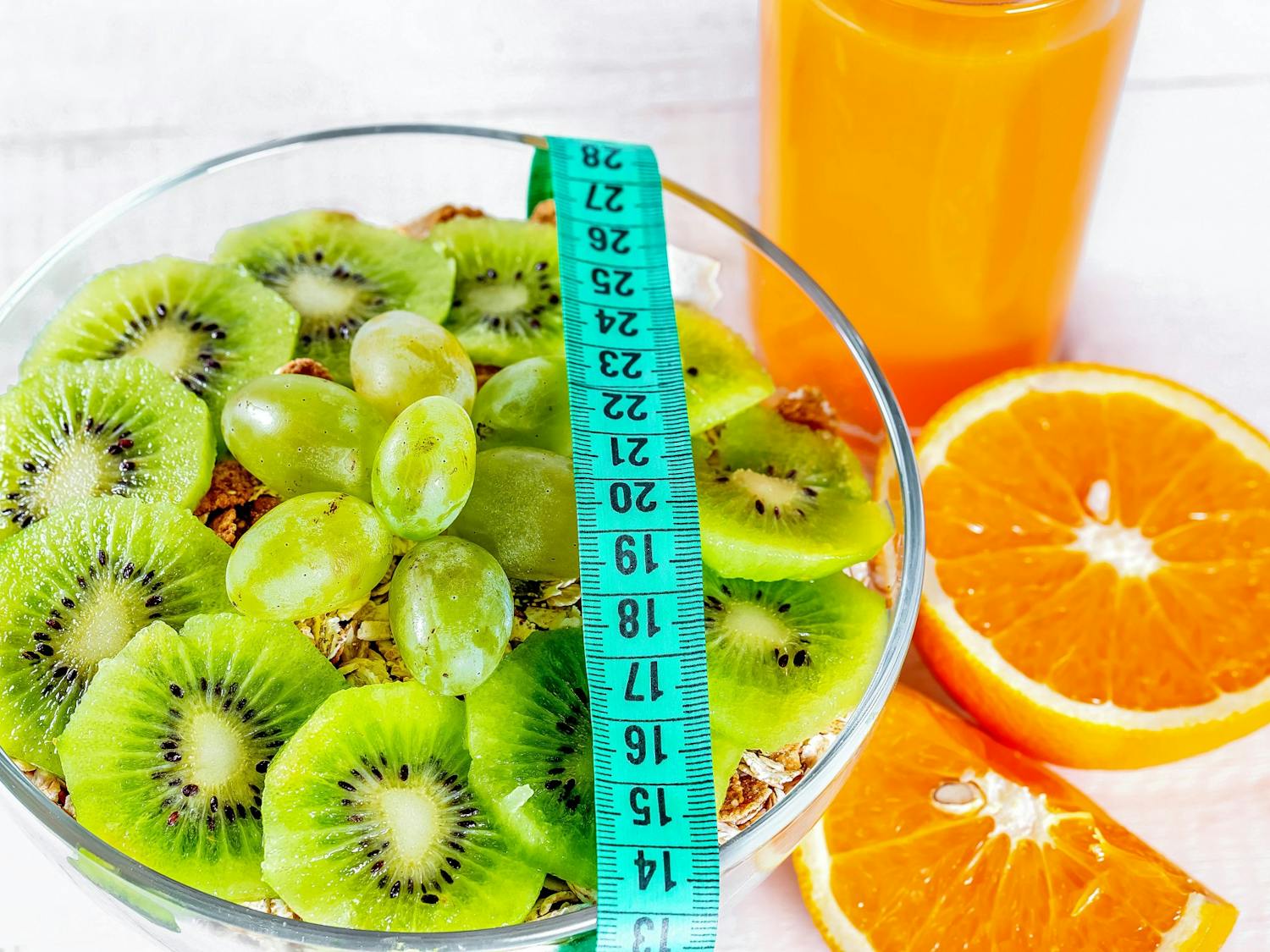
Kale, berries, cacao, eggs, sweet potatoes, greek yogurt and more are among the dozens of foods that are labeled "superfoods." This new group of products is advertised as being nutritionally dense — or containing high amounts of vitamins/minerals per calorie — ways to improve your diet and prevent disease simply by consuming them.
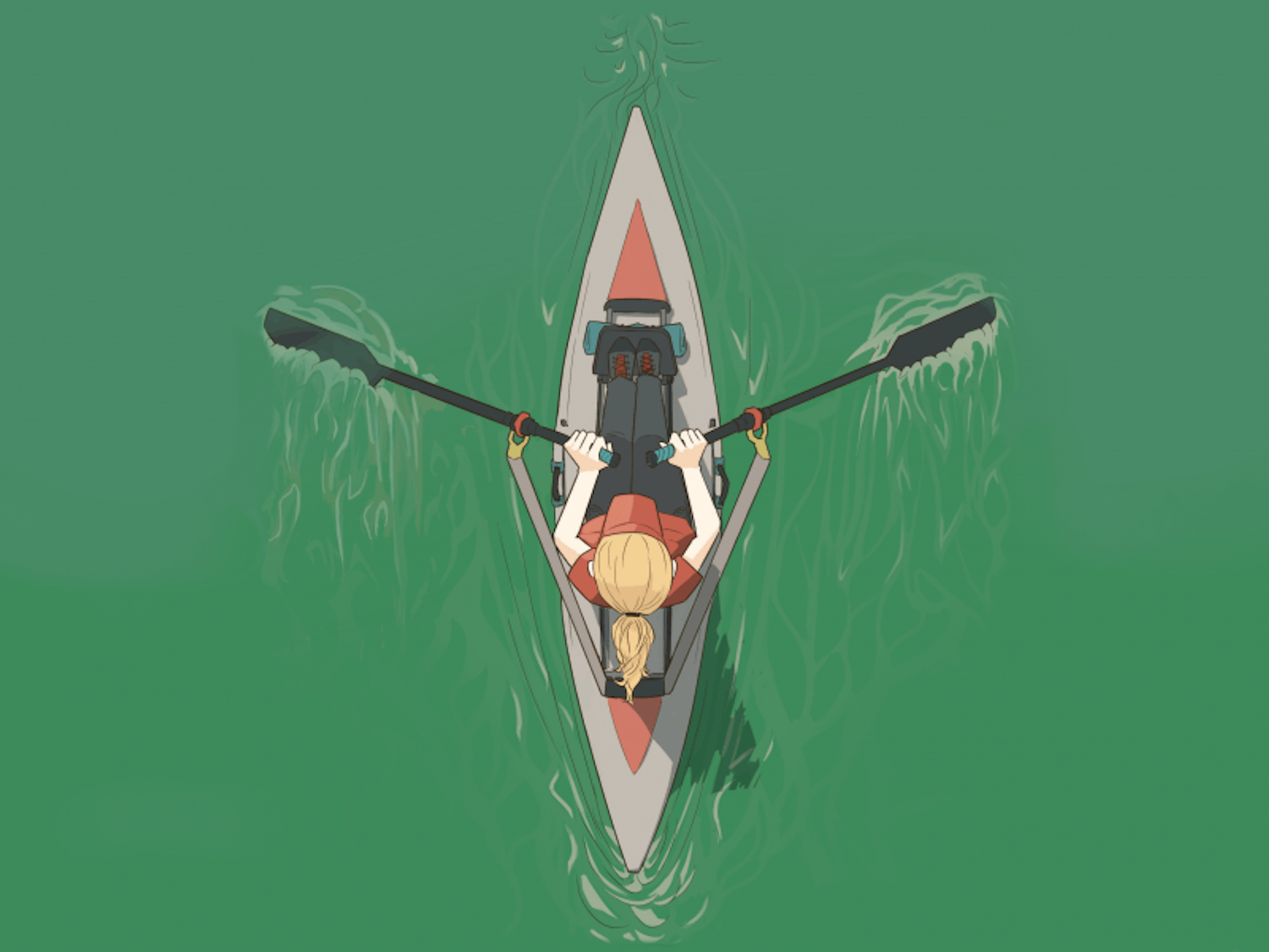
With the March 20 declaration of open water after almost three months of ice, Madison’s five lakes are again becoming home to a variety of watersports, including swimming, kayaking, fishing and more. The defrosting of the lakes also provides a space for the formation of algal blooms each year.

Aldo Leopold penned the foreword to his “A Sand County Almanac” on March 4, 1948, in Madison, Wis. In the closing essay, titled “The Land Ethic,” Leopold deemed the extension of ethics to the land a necessity in ecological decision making.
For the Ho-Chunk people, or Winnebago, natural history in the Madison area is rooted in the tale of Teejop (day-JOPE). Teejop, a Hoocąk name meaning Four Lakes, refers to Lakes Mendota, Monona, Waubesa and Kegonsa. The story begins with the descent of the Earthmaker, or Creator, from the North.
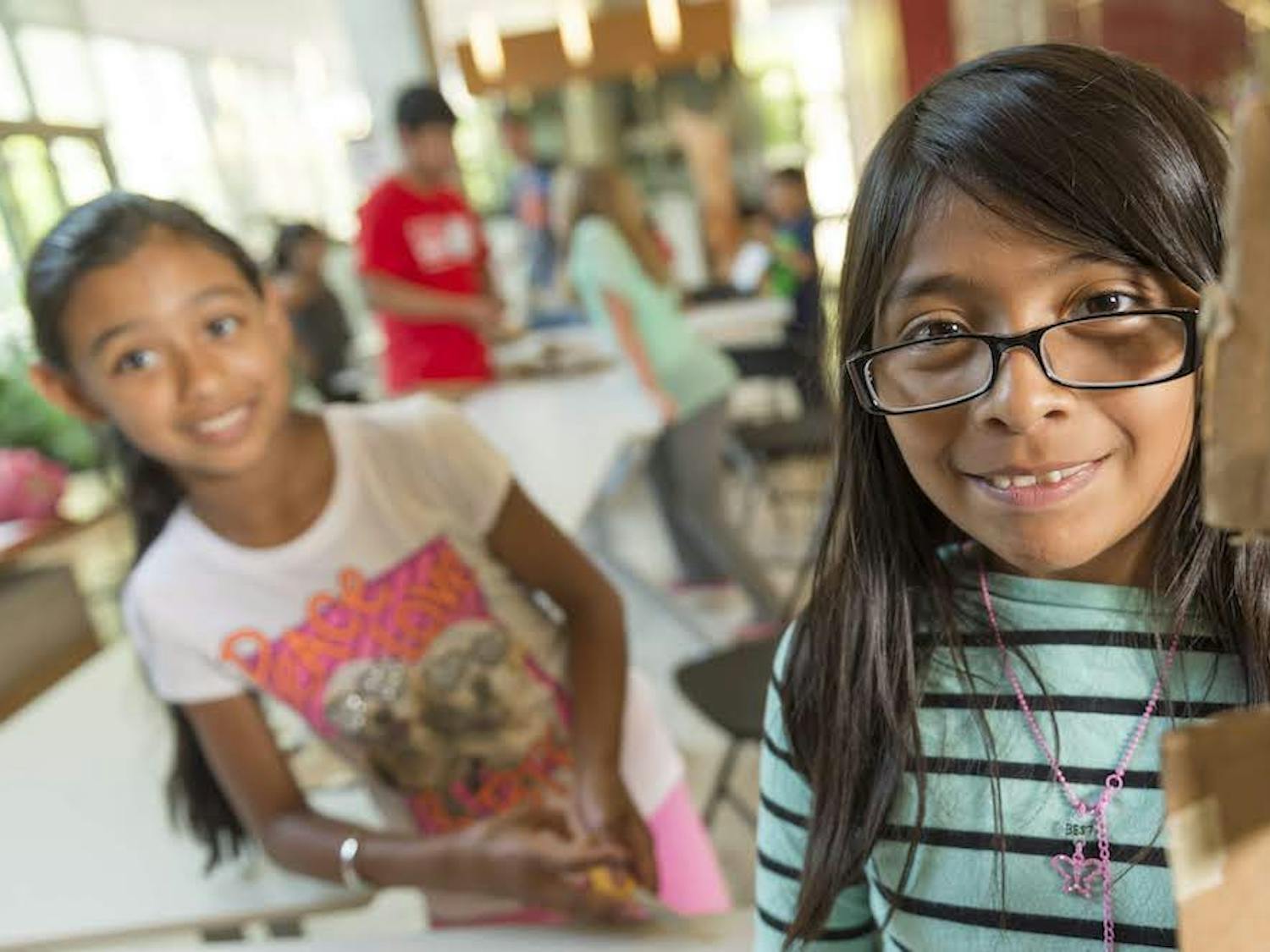
Ashley Cortes Hernandez is excited to bring Latinx representation to the team in hopes of making STEM more accessible to underrepresented communities, especially the Latinx youth.

Dairy foods have been a hot topic in nutrition in recent years. Some tout milk products as a source of calcium, vitamins and protein for bone and muscle health, while others say it is harmful, causing skin breakouts and delivering high levels of saturated fat to the diet. Both of these claims carry some truth, but the magnitude of these statements is difficult to assess.
A report by the Centers for Disease Control and Prevention in 2018 looked back at the 1918 influenza pandemic and assessed global pandemic readiness at the time. It listed multiple factors that could pose a challenge, which now appear prophetic.
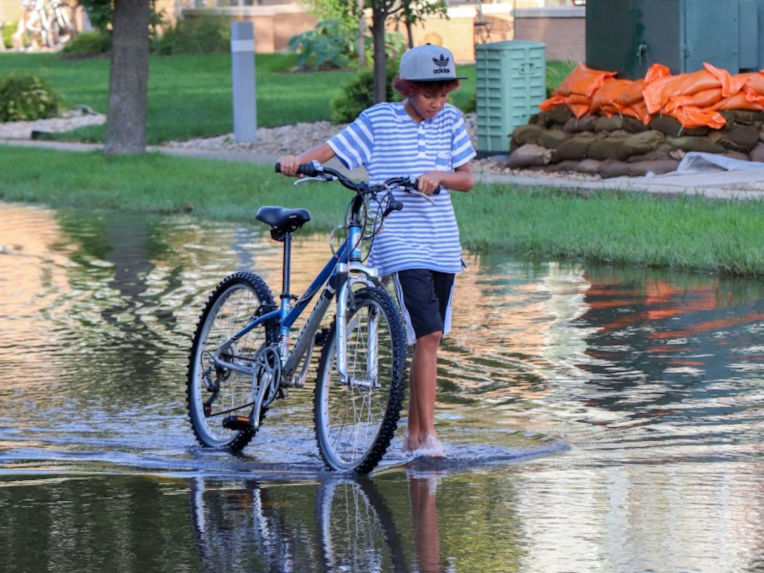
The city will be spared the most catastrophic effects of a warming world, but shorter winters, heavy rainfalls and uncertainty loom in Madison’s future.
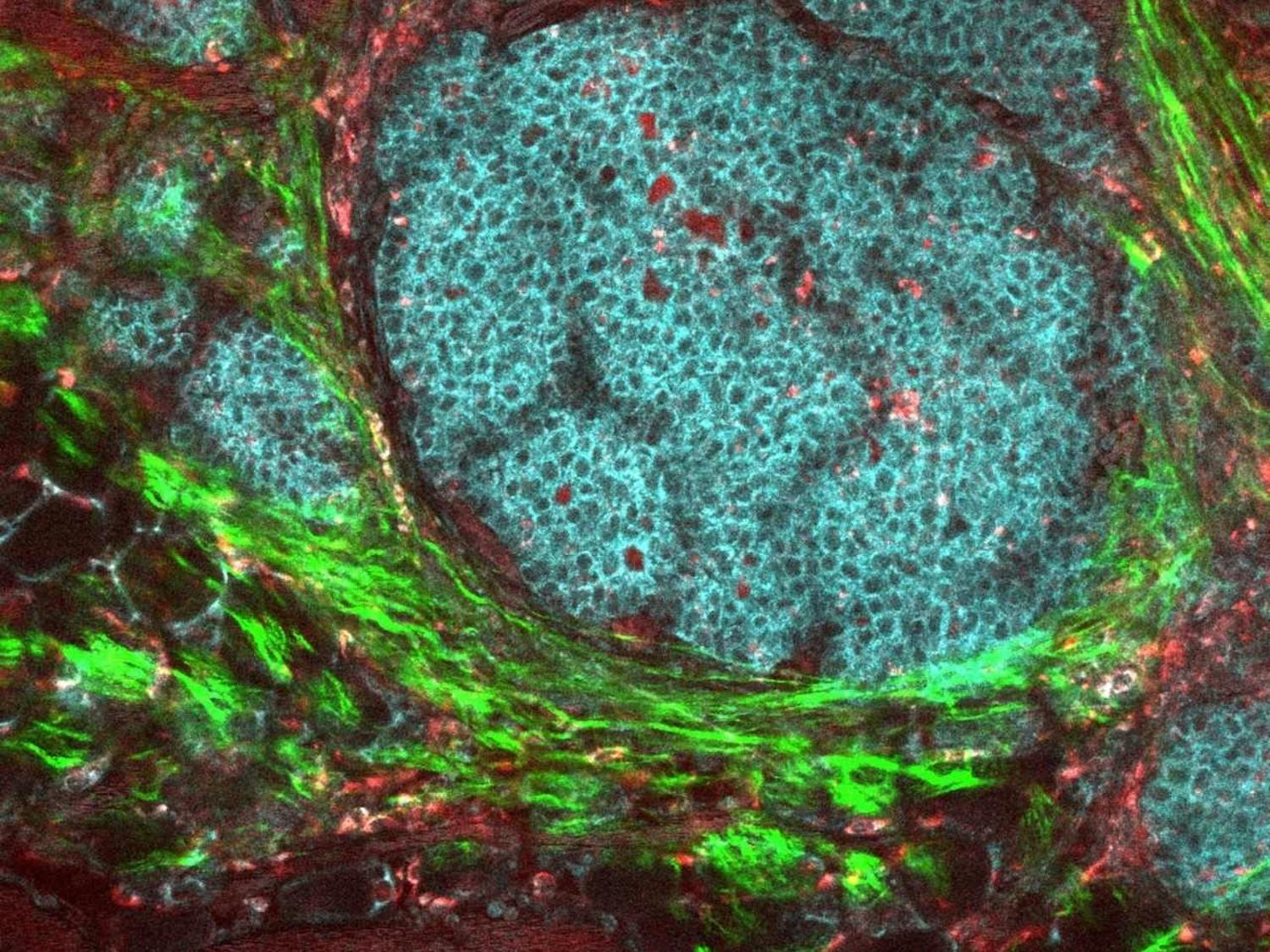
The Morgridge Institute’s Kevin Eliceri describes how a new grant will help foster learning and community for UW-Madison students interested in bioimaging.
Of the many events to come from 2020, perhaps one of the more positive was a renewed set of dietary guidelines for Americans. In a nation riddled with chronic disease, informing the public about what to eat could be crucial in battling obesity and related health issues. The guidelines included information designed to combat our nation’s growing health problems, but many believe it failed to do what was necessary to help a large part of the U.S. population.
Water is a strange player in global health in that it is necessary to live, but provides no real nutrients. Increasing water consumption is often touted as a method for improving health, yet most do not know why this is. Though we hear this advice frequently, few people follow it. Despite water’s documented benefits, research shows that a large portion of the U.S. is chronically dehydrated.
Understanding the unique behavior of water in urban areas begins with understanding two fundamentals. First, hydrogen bonding between atoms makes water molecules stick to one another (cohesion) and other charged surfaces (adhesion). Second, water is polar, making it a “universal solvent.”
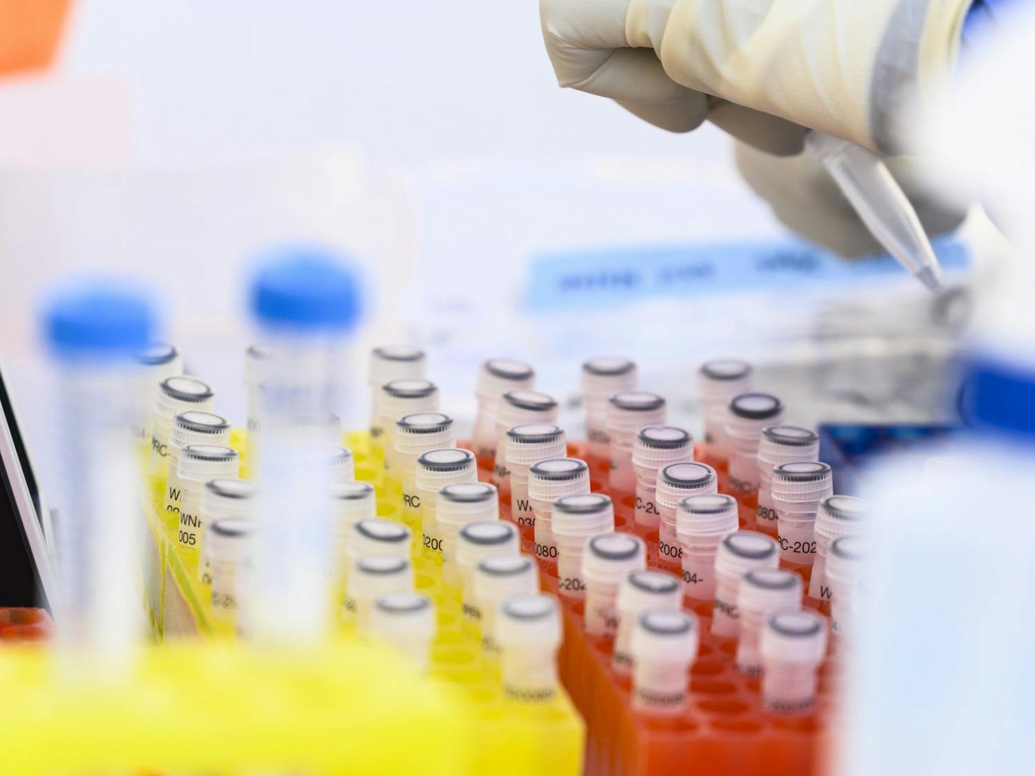
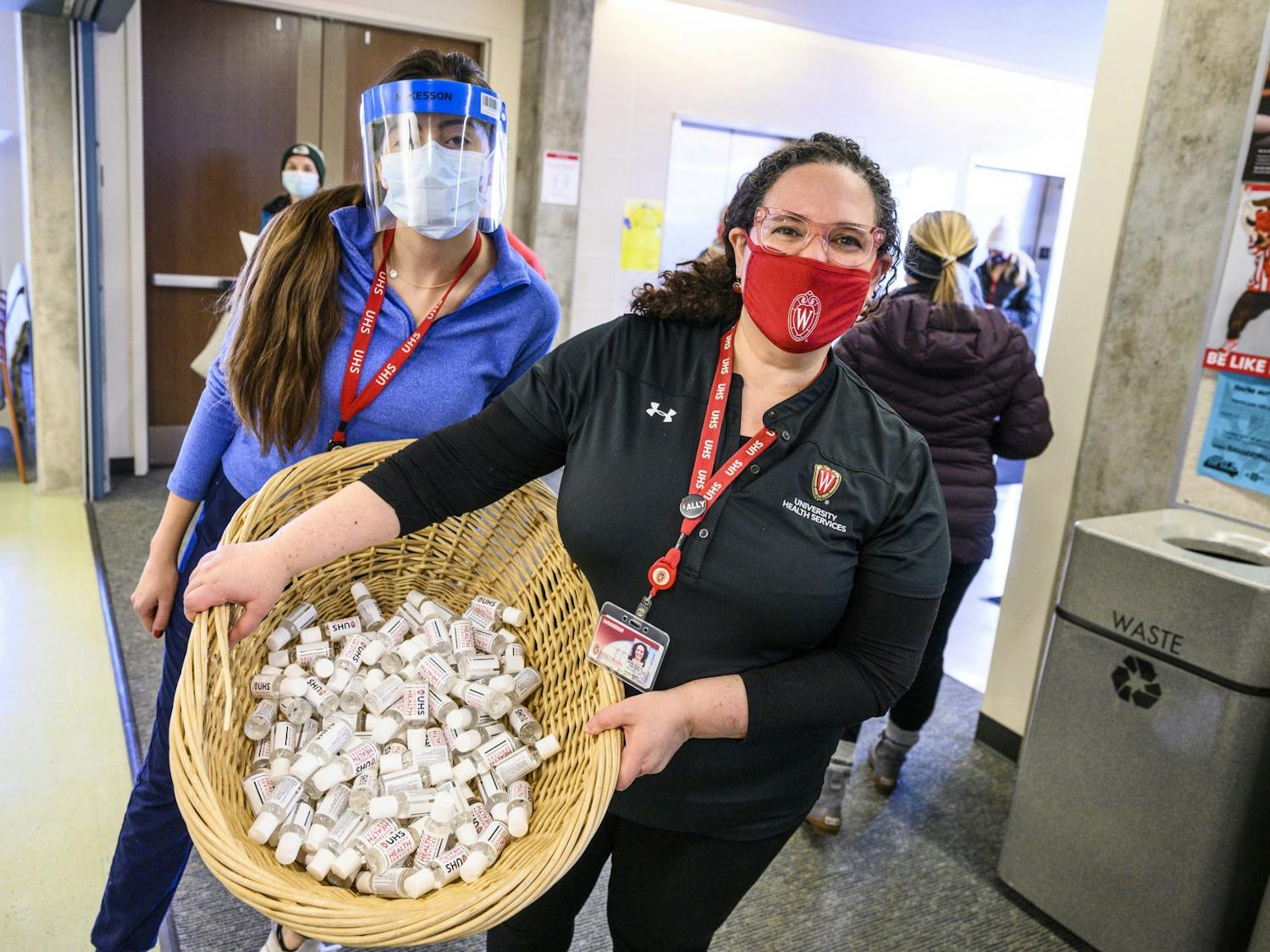
Genetic sequencing of COVID-19 shows a statewide pattern of geographic mixing between previously distinct strands of the virus from Dane and Milwaukee Counties, according to UW-Madison researchers.
Change is an exciting thing, and being able to see positive transformations of one’s body is as thrilling a change as any. Whether you are trying to take pounds off or put them on, chances are you have considered following a diet. While some diets are rigid due to biological reasons (e.g. diabetes) or religious grounds — e.g. avoiding pork as a Muslim — many choose to follow them in hopes of achieving dream physiques.

From a young age, breakfast being the “most important meal of the day” phrase has been ingrained into our brains. And now, as more and more research about breakfast comes out, scientists have data about how significant eating after waking up is for performance. UW Health says, “it gives your metabolism, your body’s engine, a boost and provides needed energy.” Let’s dig into the science of breakfast.
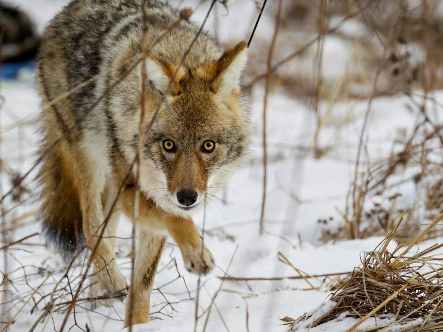
The UWUCP has gained new insights about how red fox and coyote behave in the Madison urban landscape and shared this information with the public to change knowledge, opinions and dialogue surrounding urban canines.
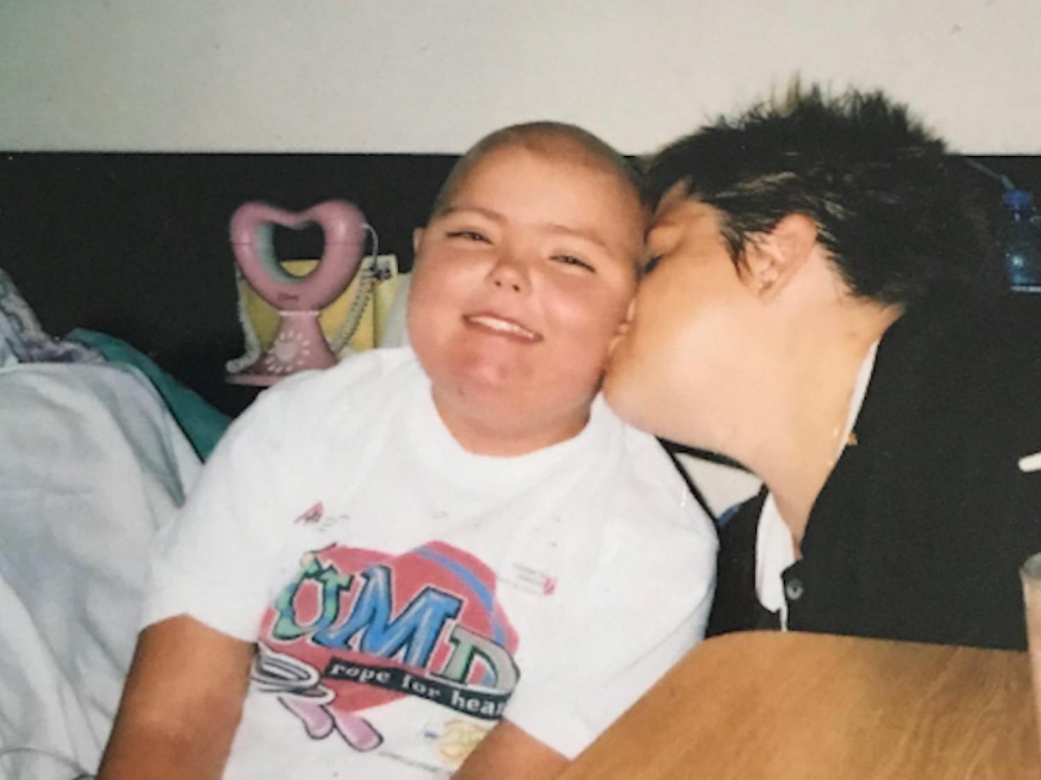
When Kristina Schultz was little, she wished to be a bone marrow transplant doctor. She wished no child would have to go through what she had and planned to spend the rest of her life working to find a cure.
 Read on Issuu