Kasey Keeler is an Assistant Professor of Civil Society & Community Studies and American Indian Studies at the University of Wisconsin-Madison’s School of Human Ecology.
Keeler’s upcoming digital project, “Mapping Dejope: Indigenous Histories and Presence in Madison,” is an interactive mapping experience that aims to educate community members about the Ho-Chunk history of the land UW-Madison occupies.
Keeler sat down with the Daily Cardinal to discuss how her Native identity has informed her research, the collaborative nature of “Mapping Dejope” and her hopes for its impact.
This conversation has been edited for clarity and brevity.
What originally led you to your research on the Ho-Chunk community in Madison?
I am from the Twin Cities of Minnesota, and I am a Native woman – I'm Tuolumne Me-Wuk and Citizen Potawatomi. As a Native woman whose homelands are located outside of Minnesota, being raised in the Twin Cities, I was always learning about Ho-Chunk histories and Ojibwe histories because those are the communities of the places that I grew up in. I've always had this interest in indigenous histories of place and knowing the peoples whose homeland I occupied. That's something that I also studied in graduate school and thinking about who has access to different places.
When I came to the University of Wisconsin as a faculty member in 2018, that was my in-depth exposure into learning about the Ho-Chunk histories of this place — of Dejope, that I now call home. We've lived for two and a half years now under the pandemic, so the “Mapping Dejope” project is a way for me to think more about that history, and to make that history more accessible to other people who are also interested.
Can you give a brief overview of “Mapping Dejope”?
“Mapping Dejope” is a way to make the Ho-Chunk and Native history and presence of this area on and around campus more accessible to folks who are wanting to learn about it. “Mapping Dejope” will be a series of digital tours.
When the project began, myself and my project team members, who I invited to join this project from across American Indian Studies and Geography, identified a long list of places we wanted to highlight on the map. Part of the accessibility is having this digital map be 50 minutes long so that people can take the map and do the tour during a class period [and] so faculty and staff can use it. But we also want that accessibility to be for people who are just dipping their toe into Ho-Chunk and Indigenous histories and community, and we felt 50 minutes was something really tangible. It isn't something where people are really obligated to commit a significant amount of time. With a list of places we want to highlight, we morphed from one digital tour into a series of tours.
In November, we're hoping to release the first and initial digital tour. Then, with additional funding, we'll continue working on the next series of maps next summer and into the fall as well, so we can include all of these sites that we want to highlight. Then, all of the digital tours will be organized thematically.
The first digital tour we're tentatively planning to call “The Grounding Tour” because it is the central part of campus. It offers a grounding for faculty, staff, and students and visitors during the tour to the Ho-Chunk in particular. Other tours we envision being organized thematically by like, the water, or the museum's material culture here on campus, or Native presence. So the real, real contemporary stuff.
This this digital mapping series, “Mapping Dejope,” is a way for again, faculty, staff, students and community members to learn some of this really important history that for so long has been buried in books and maybe not accessible unless you were taking specific classes or had access to some of the archival materials, or some of that more in-depth knowledge. This is a way to expose people much more early on when they arrive here at UW and to hopefully get people interested in taking seriously the Ho-Chunk and Native history here.
Tell me about the collaborative aspect of “Mapping Dejope.” What did the process of working with these collaborators look like?
As a scholar whose research is really invested in place and thinking about Indigenous histories of place, I'm excited to think more critically about this area on campus. My colleagues in American Indian Studies have similar expertise and interests, so early on, I reached out to Sasha Suarez, a faculty member in American Indian Studies and History. She's White Earth Ojibwe — she also grew up in Minneapolis. I also reached out to Jen Rose Smith, who is Alaska Native and grew up in Alaska. They both arrived here on campus, I think, the first year of the pandemic, and I shared with them my idea for this project. They're both really interested in mapping and critical critiques of mapping.
As Native women, they were also really eager to join this project, so we could all three think about this new place that we call home as Native women. We knew that we had the skills to be able to do some of the historical work and reach out to community members as Native people, but we didn’t have any sort of mapping or cartography skills.
Jen Rose Smith is a faculty member in American Indian Studies but also Geography, so she was able to put us in touch with Robert Roth. He's a faculty member in Geography who has been so helpful in thinking about how we actually create a map — a digital map at that. He brought on board a graduate student, Gareth Baldrica-Franklin.
Rob and Gareth have been really instrumental in guiding us through what the map-making process looks like, but also incorporating research because we are scholars. We have submitted an IRB, the Institutional Review Board, for the University of Wisconsin-Madison to also have this be a research project. So for example, my class and Professor Suarez’s class will be evaluating this digital map in terms of the content, and how do we make it better? How does it compare to other digital maps that focus on Native histories?
There have been two other folks working on the digital map as well that I want to give credit to. That would be Kendra Greendeer. She is a Ho-Chunk graduate student here at the University of Wisconsin, and she's in Art History. And also Molli Pauliot, who is a Ho-Chunk student here in Anthropology.
They have been contributing to the map all summer by providing feedback and really providing this important cultural community-based lens for us to think about, especially as we're thinking about how we acknowledge the mounds that are on campus. The destruction of mounds, as non-Ho-Chunk project members, is not something for us to necessarily navigate. So they've been really great in providing some really important feedback in cultural and community perspectives for us as well. We know that as graduate students, they transition into lots of other roles. So we're hoping that they stay involved in some capacity. And if not, I've already got some feelers out for some other Ho-Chunk students and Native students to be involved in the coming years as well.
Do you feel that UW-Madison has been successful in its recent efforts to spread awareness about the Indigenous history of the land we occupy?
I've been here since 2018. When I arrived, the two initiatives that were already existing, which I assume you're kind of referring to, are the "Our Shared Future" initiative and also the Native Nations initiative. I've been learning about those, and my learning process has happened a little bit slower because of COVID-19 and not being able to be directly involved in those initiatives because they already existed.
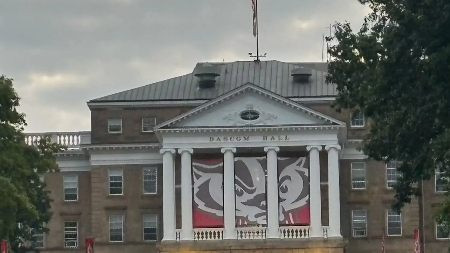
I think that over the last few years, the University of Wisconsin has been doing a good job in acknowledging its role in this settler colonial state that we live in, both in Wisconsin but also the United States. So I think the “Our Shared Future" initiative has been a good tool for the University of Wisconsin to work on improving the relationships with the Ho-Chunk nation in particular. We, of course, have the plaque on Bascom Hill now. And there are events throughout the year, to really highlight that Ho-Chunk history. Most recently, last week, we had the Ho-Chunk flag raising.
My understanding of the “Native Nations” initiative is that it focuses on the University of Wisconsin's relationship and dialogue with the 12 Tribal Nations of the state. I know that these are both ongoing processes, so that's good.
In conjunction with that, I would say there has also been a number of Native faculty that have been hired since I've been here. There's now Native faculty and multiple academic disciplines and departments across campus. I think all of these together are really good.
But I feel like it's never going to be enough, right? We can't just say, “Oh, we're doing this initiative and this initiative,” and we hire some Native faculty and check off the list. Much like improving relationships with any group of people that have traditionally been oppressed and marginalized, these relationships need to continue being nurtured and fostered and taken care of, especially with Native people and the Ho-Chunk people whose land that we occupy. So, I don't think that there's ever really an end point to these relationships or to these initiatives. They must be ongoing in order to be deemed “successful,” right?
Your project emphasizes not only acknowledging past wrongs against the Ho-Chunk community, but also inspiring our community to strive for a better shared future. What are your hopes for the impact this project will have?
I feel like what I want to emphasize in this “Mapping Dejope” digital mapping series is not only the history, which can be very dark and violent, and difficult to look back upon – but that is the history, right? Like that is an accurate history. But to also highlight the successes and the triumphs, and the progress that we've made since those really dark days. Granted, we’ve had dark days in between, right? Bad things will happen, and they will continue to happen. We're not immune to racism and violence here on campus.
Places that we'll be highlighting in the digital series include the bronze Badger sculpture outside Camp Randall Stadium that was created by a Ho-Chunk artist named Whitehorse. That's one example of something present that we can share. Also, the American Indian Student Cultural Center, which has recently been renamed the Indigenous Student Cultural Center and is located on Brooks Street is a presence, right? A place where Native students can go today to celebrate and participate in community events and networking. So celebrating that presence, I think, is equally important in the digital mapping series – not just the history and the dark, difficult histories.