

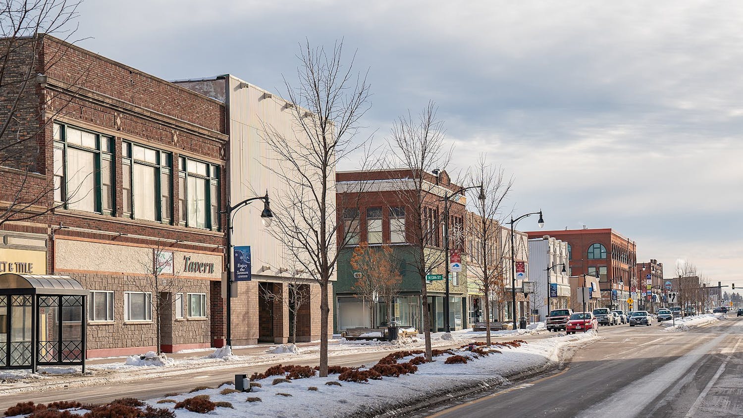
The highest temperature in Madison reached 36 degrees Saturday and 72 degrees Sunday, according to the National Weather Service. Madison’s weather can vary wildly but its climate shows more predictable trends.
For example, March and November are typically the windiest months. Dane County experiences a tornado every three to five years on average, and 60 percent of all annual precipitation falls from May through September.
Those trends have not varied much since the Wisconsin State Climatology Office started collecting data in the 1800s. However, this is not the case for all weather metrics. Madison is getting warmer.
March marked the ninth-warmest March on record since recording began in 1869, with the average temperature being 39.9 degrees according to the Capital Times. The warmest March was in 2012 with an average of 50.1 degrees, and March’s average temperature has been trending upward since 1869.
Madison sits on an isthmus between lakes Mendota and Monona, which gives scientists a unique way to measure the increases in temperature. Since the 1850s the climatology office has been recording the duration of the lakes being frozen.
The frozen periods of both lakes have consistently trended downward. Both lakes’ median duration is 104 days and both had the longest freeze in the winter of 1880-’81, with 160 days for Mendota and 161 days for Monona. The shortest durations both occurred in the last 20 years.
Lake Monona never froze briefly and thawed before freezing again in the 1800s, and did three times in the 1900’s. Since 2000 that has happened three times. The five-year running average of both lakes has not been above 100 days since before 1980.
Another sign of the increasing temperatures could be slower wind speeds. According to research from UW-Madison post-doctoral scholar Brandon Barton, as temperatures increase the fluctuations of temperature that cause wind, decrease.
Since recording of wind speed began in 1948, the annual average has gone from around 11.5 mph to below 7 mph in 2010, according to the climatology office.
These changes are what Wisconsin State Climatology Office Director and UW-Madison Professor Emeritus John Young defines as climate changes.
“Weather conditions which persistently deviate from ‘normal’ climate values are termed ‘climate variability,’” Young says on the introduction to the office’s website. “When time periods extending to decades are considered, the presence of long-term trends in deviations from ‘normal’ indicate ‘climate change.’”
The changes are indicative of a globally warmer climate. According to NASA, 97 percent of scientists agree the climate is getting warmer due to human activities.
In December, over 190 countries met at the 2015 Paris Climate Conference to find a solution to the increases in temperature. The result was a legally binding and universal agreement to keep global warming below 2 degrees Celsius.
It’s unclear to scientists whether the new agreement will be enough to stop the effects of climate change, such as higher sea levels and more extreme weather. A new study released last Tuesday shows those effects could come in the next decades rather than centuries.
However, according to the weather data for Madison, at least some of those effects are already occurring.

